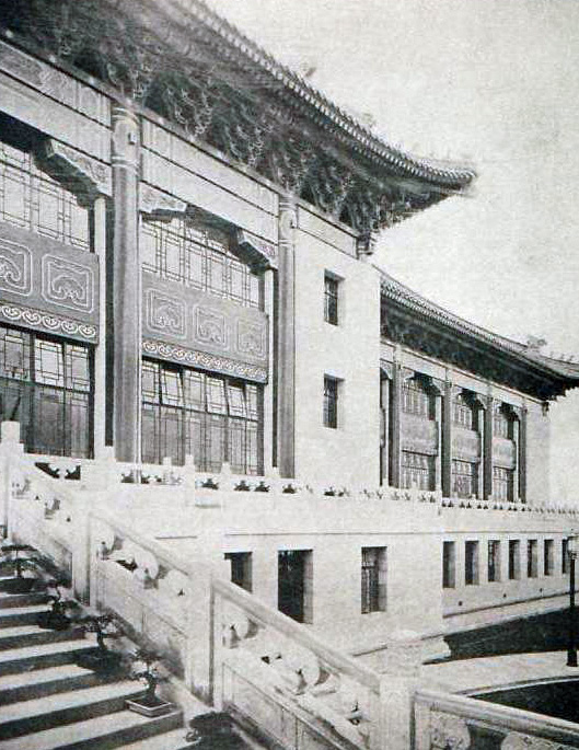
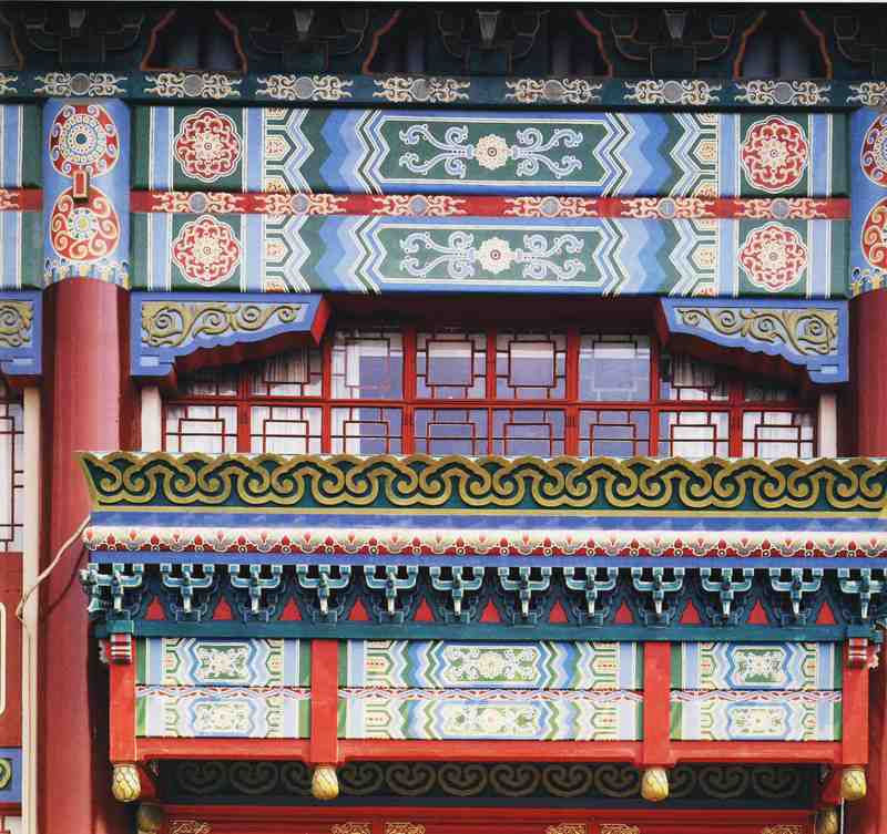
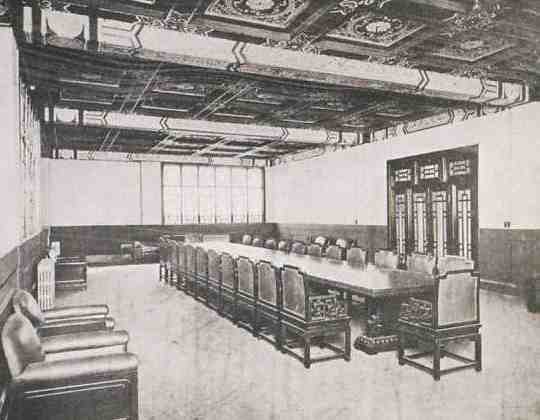
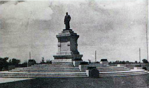
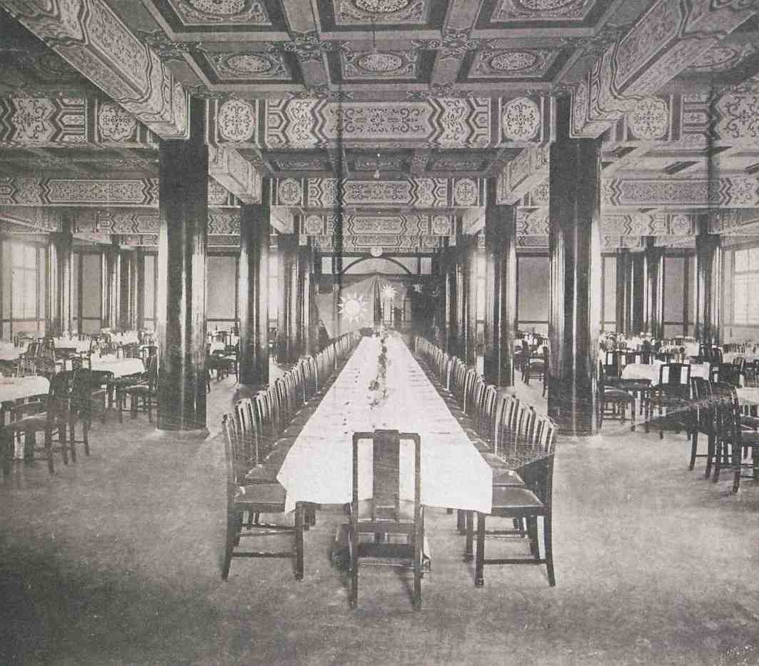
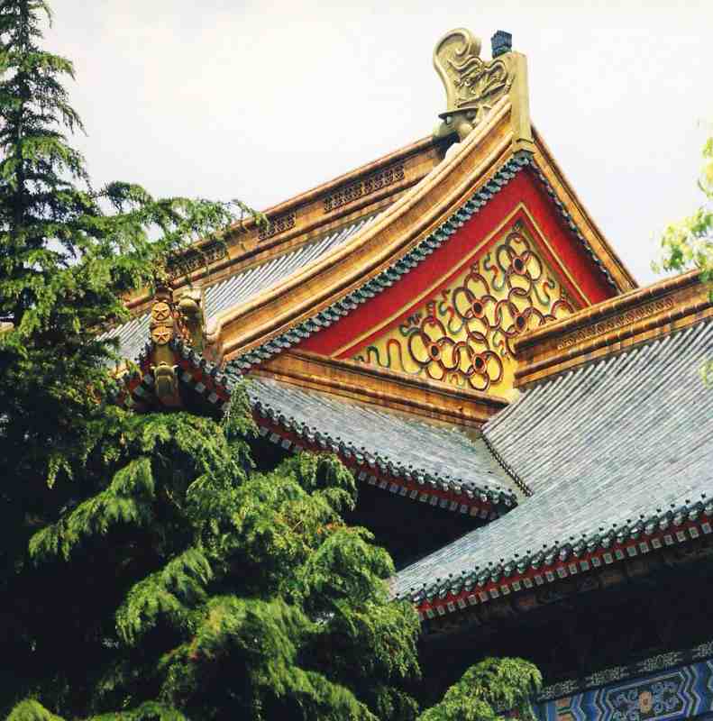
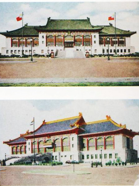
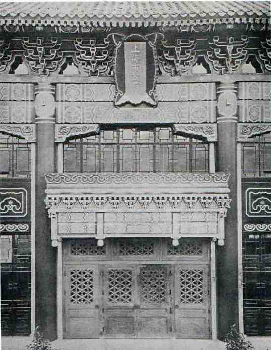
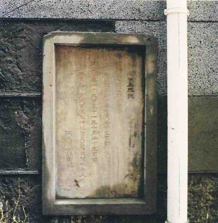
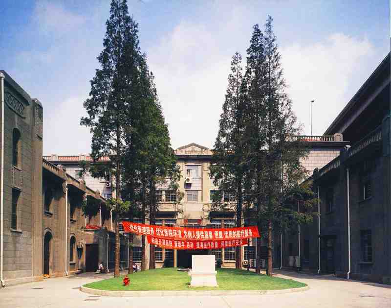
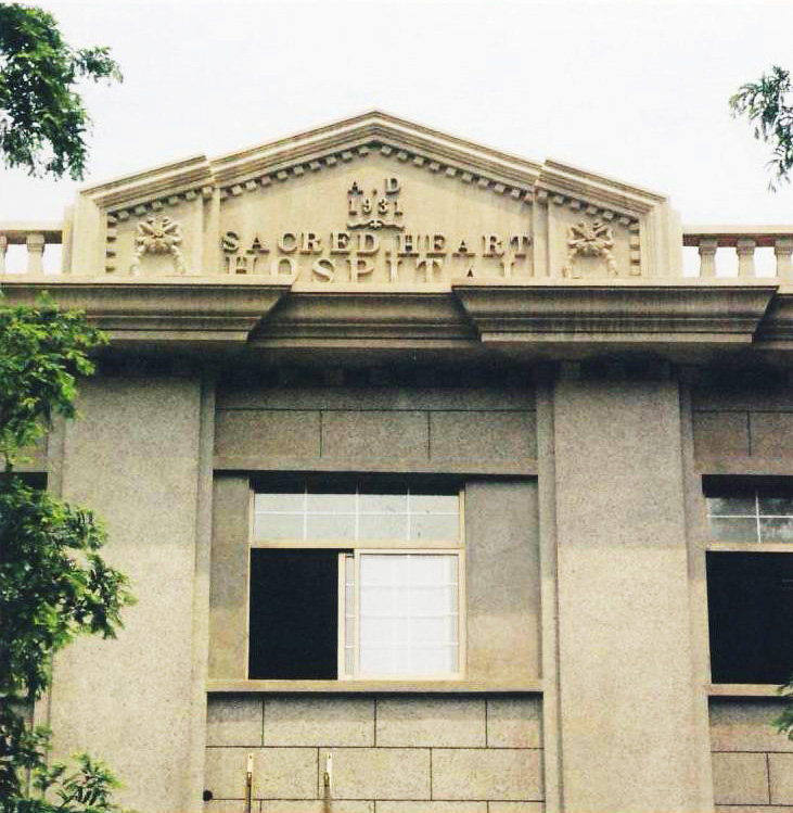
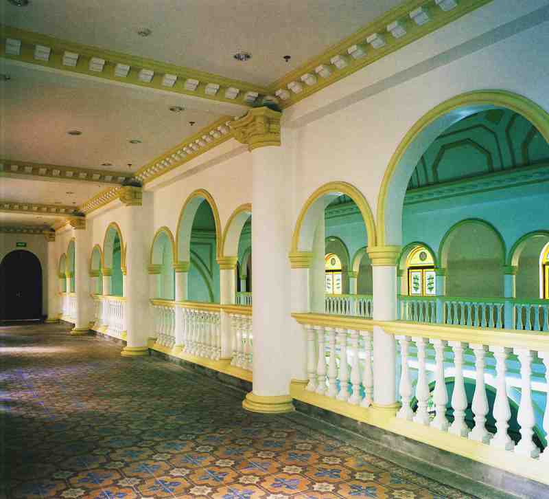
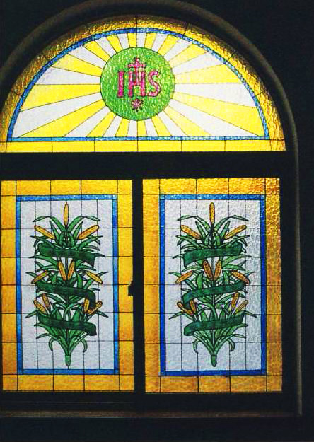
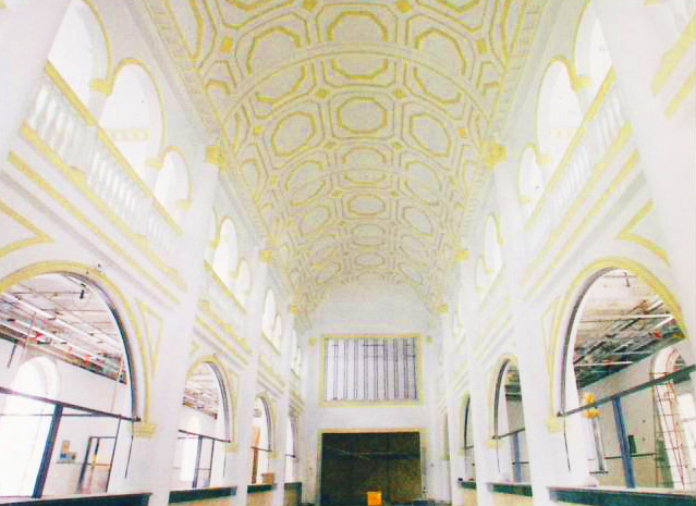
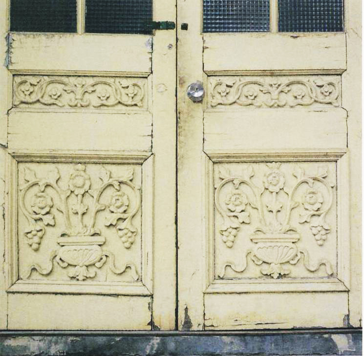
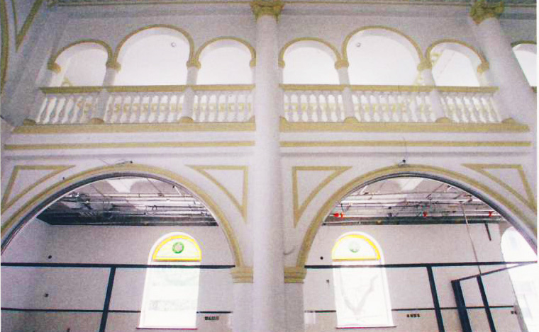
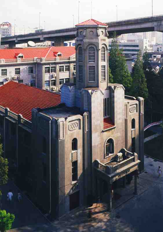
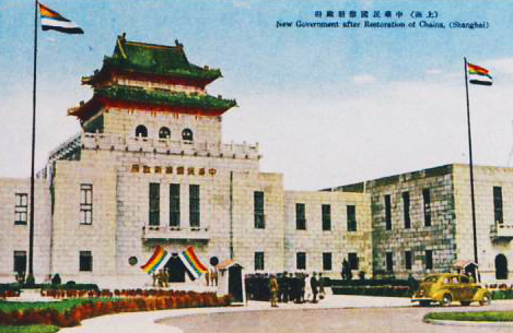
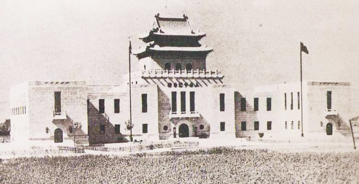
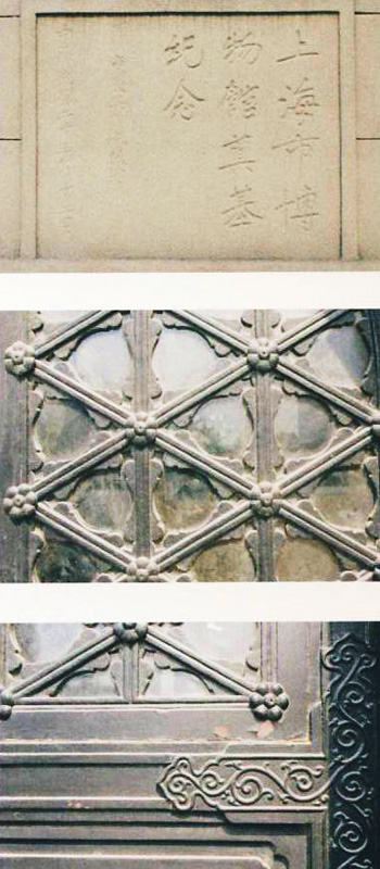
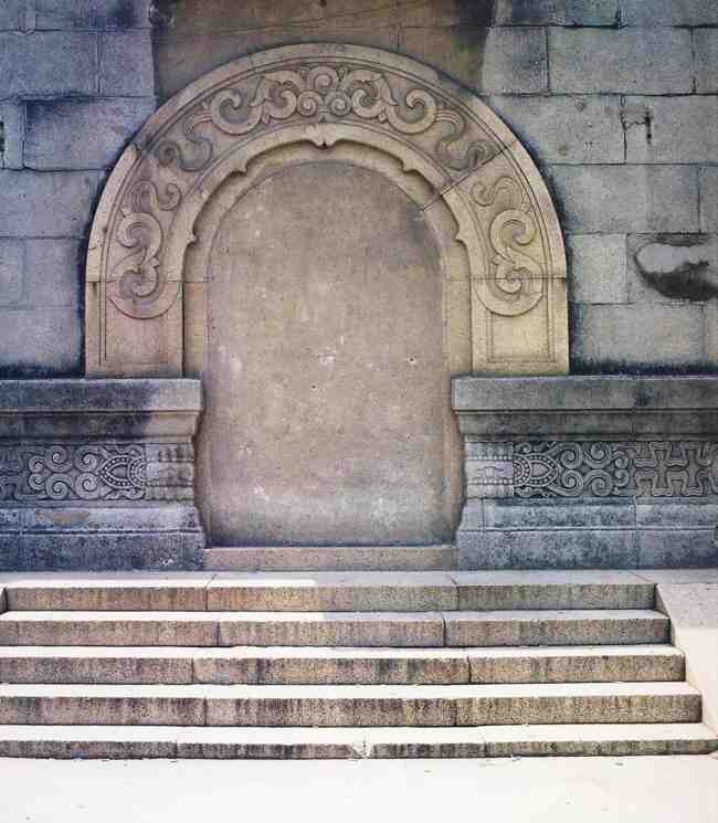
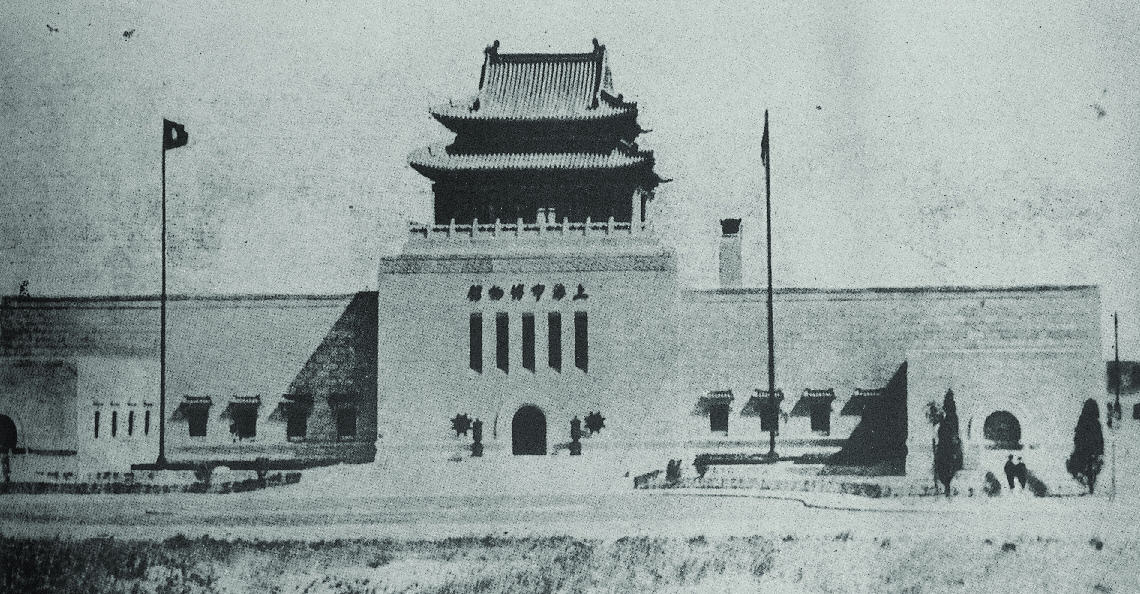
A century of City governance
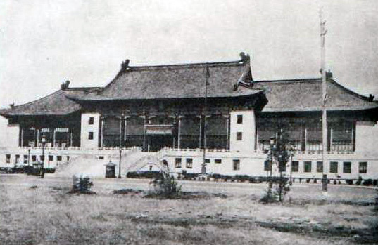
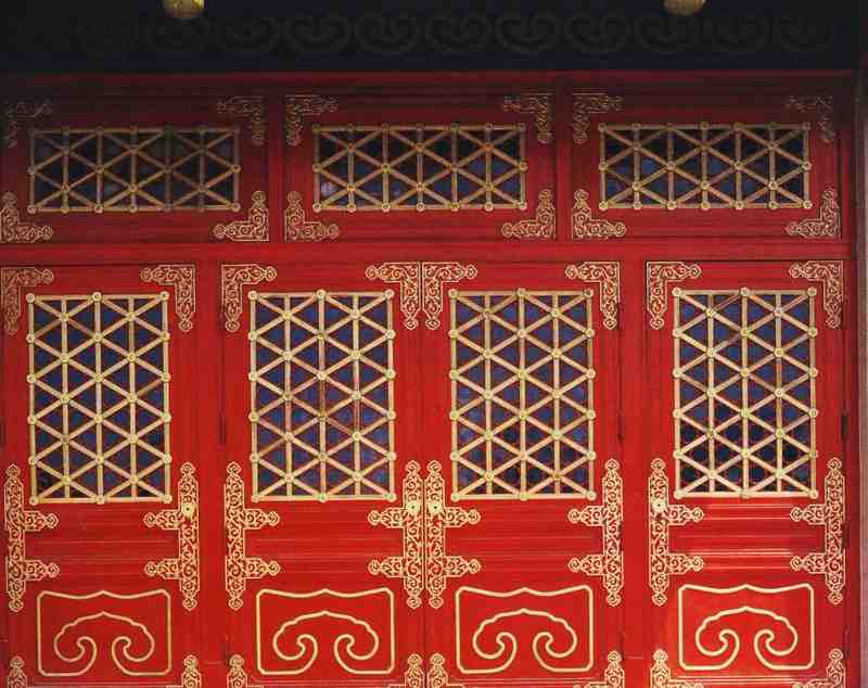
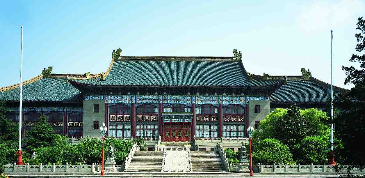
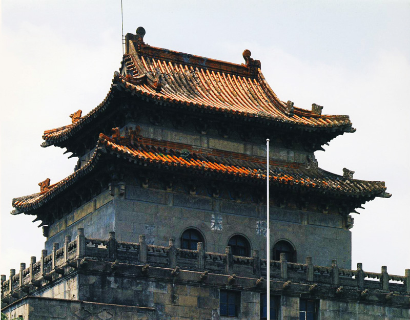
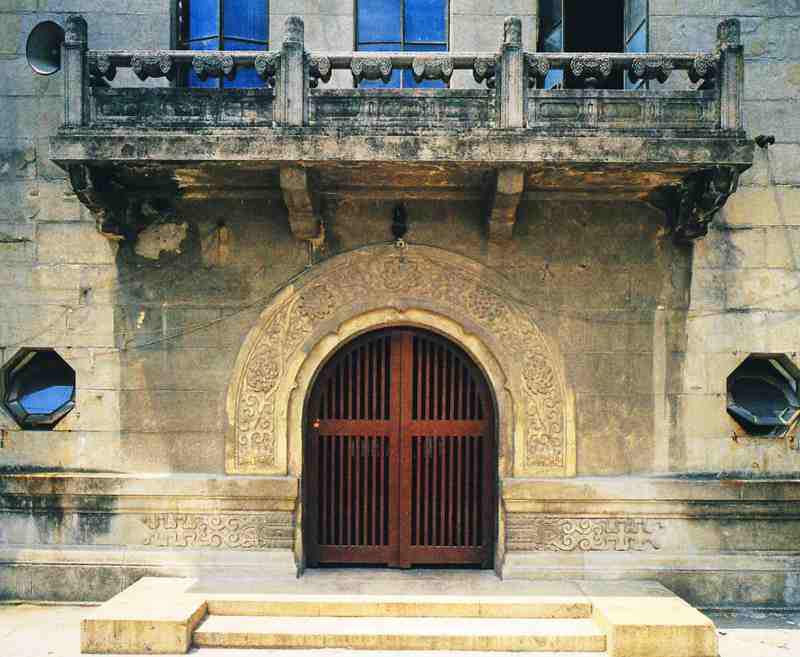
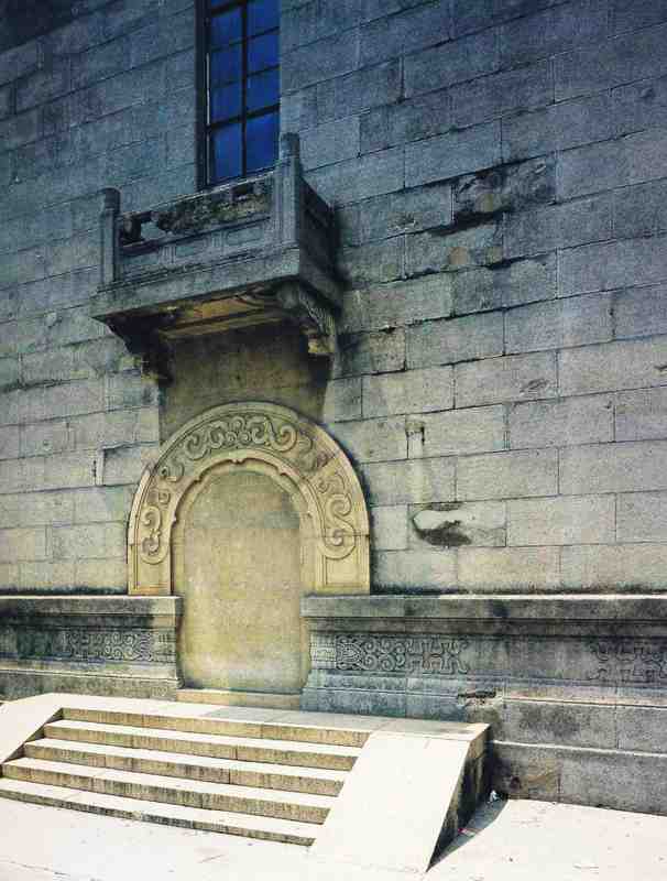
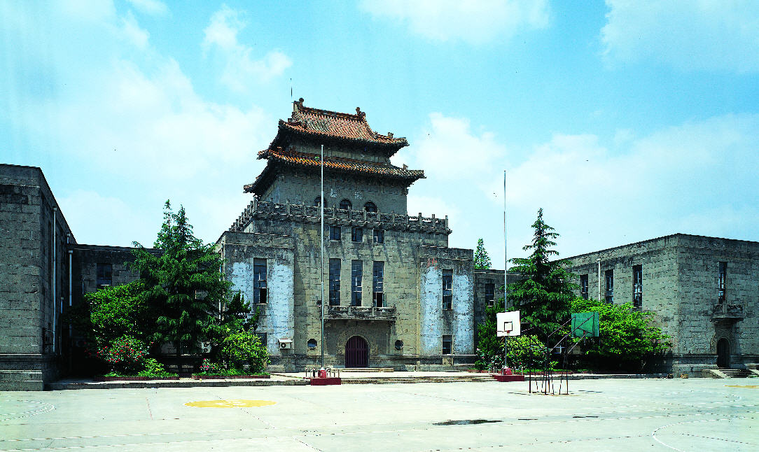
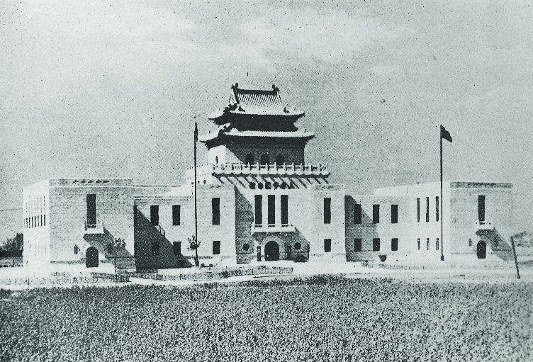
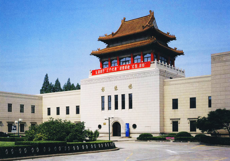
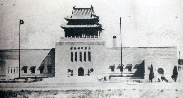
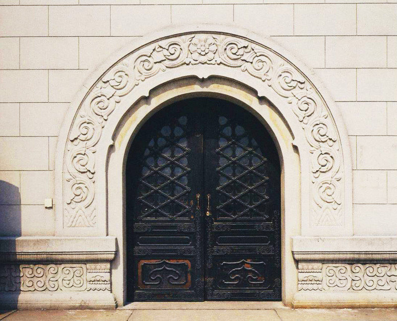
In July 1927, the Shanghai Special Municipal Government was established. In order to counteract the concessions and to connect Chinese controlled districts such as Zhabei and Nanshi, the Greater Shanghai Plan was then formulated, selecting about 7,000 mu of land north of Xiangyin Road, south of Zhayin Road, east of Songhu Road and west of the Huangpu River in the present-day Wujiaochang area as the city center. The plan proposed setting up administrative districts, commercial districts, residential districts, and corresponding transportation facilities, including railroads, ports, roads, etc. Following the instructions left by Dr. Sun Yat-sen, the authorities published the "Plan for the Construction of the City Center of Shanghai" in July 1929. After that, the municipal government further put forward the "Plan for the Huangpu River Qiujiang Dock", the "Plan for Division of Districts in Shanghai, and the "Plan for Road Construction in Shanghai". With the completion of the Qiujiang Dock, a network of around 60 roads radiating out from Wujiaochang as the center of the new Chinese controlled districts was constructed. The Greater Shanghai Plan of the 1930s was the first large-scale urban plan for modern Shanghai. Still preserved in the area are a group of time-honored, splendid buildings, such as the Old City Hall, the Municipal Museum, the Municipal Stadium, the Municipal Library, etc. This was the first comprehensive, large-scale and integrated plan for urban development in the history of Shanghai.